Moab, Utah
September 23, 2017
Our first jeep ride in Moab is always the Potash Road to Schafer Trail into Canyonlands National Park. It helps to adjust my eye and mind to the amazing colors and textures in Moab. The Colorado River edges the beginning of the ride. Here is a view near the landing where the rafters and jet boats put in and take out.
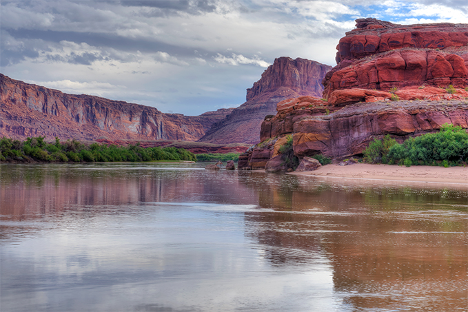
The final scene of the movie Thelma and Louise was filmed near this overlook of the Colorado River as it near Canyonlands National Park. You can see Pyramid Butte and the LaSal Mountains are covered in clouds in the distance.
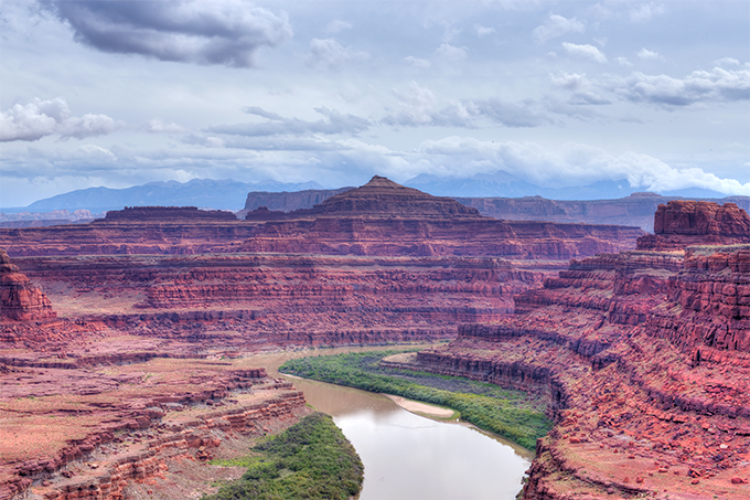
A view from the Schafer Trail into Canyonlands.
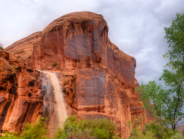
 We missed the rains all around us this day but saw the aftermath near Wall Street on the Potash Road. I heard rumors of wild waterfalls gushing down the tall canyon walls. More Moab magic…..