-
Archives
- September 2017
- August 2017
- July 2017
- June 2017
- May 2017
- March 2017
- February 2017
- October 2016
- September 2016
- August 2016
- July 2016
- December 2015
- October 2015
- September 2015
- August 2015
- July 2015
- June 2015
- May 2015
- April 2015
- January 2015
- August 2014
- July 2014
- May 2014
- April 2014
- March 2014
- January 2014
- November 2013
- October 2013
- September 2013
- August 2013
- July 2013
- June 2013
- May 2013
- April 2013
- March 2013
- February 2013
- January 2013
- December 2012
- November 2012
- October 2012
- September 2012
- August 2012
- July 2012
- June 2012
- May 2012
- April 2012
- March 2012
- February 2012
- January 2012
- December 2011
- November 2011
- October 2011
- September 2011
- August 2011
- July 2011
- June 2011
- May 2011
- April 2011
- March 2011
- February 2011
- January 2011
- December 2010
- November 2010
- October 2010
- September 2010
- August 2010
- July 2010
- June 2010
- May 2010
- April 2010
- March 2010
- February 2010
- December 2009
- November 2009
- October 2009
- September 2009
- August 2009
- July 2009
- June 2009
- May 2009
- April 2009
- November 2008
- October 2008
- September 2008
- August 2008
- July 2008
- June 2008
- May 2008
- April 2008
- March 2008
- February 2008
- November 2007
-
Meta
Monthly Archives: October 2009
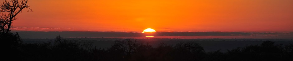
Sedona Vortex
October 30, 2009 Sedona, Arizona We have landed in beautiful Sedona just ahead of the big snow storms that hit the West this week. It has been cold at night in the 30’s but warms up during the day nicely. … Continue reading
Posted in Arizona
Comments Off on Sedona Vortex
Natural Bridges
October 23,2009 Blanding, Utah Natural Bridges National Monument is a unique high desert environment that contains three massive natural bridges. This image is of Kachina natural bridge that is 210 feet high, a span of210 feet and 93 feet thick. … Continue reading
Posted in Utah
Comments Off on Natural Bridges
long canyon
Moab, Utah October 9, 2009 Thought you might like to see a pic from our jeep ride down into Long Canyon through our favorite Pucker Pass. This was our first off road jeep ride back in May ’07. I swear … Continue reading
Posted in Utah
Comments Off on long canyon
capturing canyonlands national park
October 3, 2009 Moab, Utah Brad snapped this picture of me while setting up to take a panoramic picture of Canyonlands National Park from high up on the Shaffer Trail. Unfortunately my picture taking during the scenic ride that day … Continue reading
Posted in Utah
Comments Off on capturing canyonlands national park