-
Archives
- September 2017
- August 2017
- July 2017
- June 2017
- May 2017
- March 2017
- February 2017
- October 2016
- September 2016
- August 2016
- July 2016
- December 2015
- October 2015
- September 2015
- August 2015
- July 2015
- June 2015
- May 2015
- April 2015
- January 2015
- August 2014
- July 2014
- May 2014
- April 2014
- March 2014
- January 2014
- November 2013
- October 2013
- September 2013
- August 2013
- July 2013
- June 2013
- May 2013
- April 2013
- March 2013
- February 2013
- January 2013
- December 2012
- November 2012
- October 2012
- September 2012
- August 2012
- July 2012
- June 2012
- May 2012
- April 2012
- March 2012
- February 2012
- January 2012
- December 2011
- November 2011
- October 2011
- September 2011
- August 2011
- July 2011
- June 2011
- May 2011
- April 2011
- March 2011
- February 2011
- January 2011
- December 2010
- November 2010
- October 2010
- September 2010
- August 2010
- July 2010
- June 2010
- May 2010
- April 2010
- March 2010
- February 2010
- December 2009
- November 2009
- October 2009
- September 2009
- August 2009
- July 2009
- June 2009
- May 2009
- April 2009
- November 2008
- October 2008
- September 2008
- August 2008
- July 2008
- June 2008
- May 2008
- April 2008
- March 2008
- February 2008
- November 2007
-
Meta
Category Archives: Montana
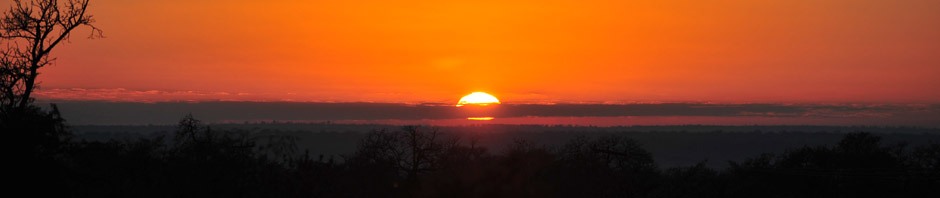
The Yellowstone Experience
West Yellowstone, MT August 8, 2016 We have been exploring the Yellowstone National Park and finding many great landscapes and wildlife. Staying near the west entrance gives us the opportunity to drive along the beautiful Madison River. One of the … Continue reading
Posted in Montana, Uncategorized, Wyoming
Comments Off on The Yellowstone Experience
Custer National Forest
Red Lodge, Montana July 29, 2014 There are many scenic roads leading into the Custer National Forest from Red Lodge. We followed FSR 421 to the end along Rock Creek. Here is a view of the famous Beartooth Peak as … Continue reading
Yellowstone Magic
West Yellowstone, Montana August 19, 2012 “Where are the grizzlies and wolves?” the most asked question in Yellowstone National Park. Here are a few: Grizzly shaking off the water after a little swim. This guy was enormous! The pack is … Continue reading
the national bison range
Moiese, Montana August 6, 2012 The National Bison Range was established in 1908 to save the buffalo from extinction. A large portion of the 18,700 acres consists of native Palouse Prairie. Forest, wetlands and streams are also found here providing … Continue reading
Posted in Montana
Comments Off on the national bison range
trail of the cedars
Glacier National Park July 24.2012 Glacier NP offers miles of outstanding hiking trails. The Trail of the Cedars is one of those amazing walks through an ancient forest cedar trees. The trail follows Avalanche Creek which has the gorgeous glacier … Continue reading
Posted in Montana
Comments Off on trail of the cedars
the grandeur never ends
St Mary, MT Glacier National Park July 21, 2012 We have been enjoying the wonders of Glacier from it’s many waterfalls, lakes, glaciers and high mountain peaks. The weather has been challenging and changing by the minute. This was taken … Continue reading
Posted in Montana
Comments Off on the grandeur never ends