Yellowstone National Park
August 18, 2016
While staying in West Yellowstone, MT, we have enjoyed access to Yellowstone National Park from the West Entrance along the Madison River. Fires are a fact of life in Yellowstone with many historic fire damage still very evident.
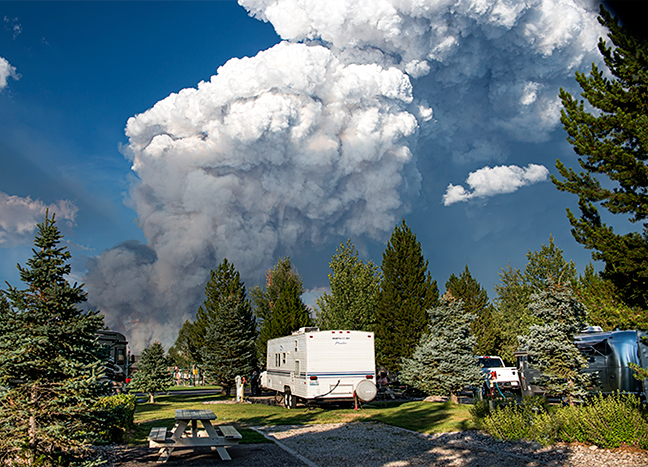
The Maple fire was detected Monday evening, August 8 by a smoke jumper aircraft passing over the park. It is located in a large expanse of the 1988 North Fork fire scar, 1 mile east of the Gneiss Creek trail, 3 miles north of the Cougar Creek cabin, 6 miles east of the Park’s west boundary, and 8 miles northeast of the community of West Yellowstone. It has burned 12,199 acres to date with smoke evident in West Yellowstone. I clicked this pic on Sunday night from our campsite. The fire is 8 miles northeast of West Yellowstone and burning in a northerly direction so we were in no danger. Unless the winds changed…..
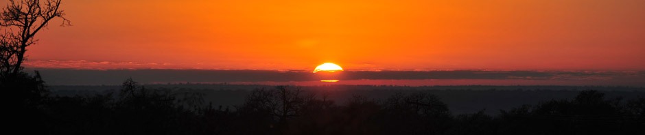
We got out early this morning to shoot the dawn light and discovered that the smoke had thickened in the park. Here is an image shot from the banks of the Madison River near Three Brothers Mountain. The sun was burning through the smoky skies.
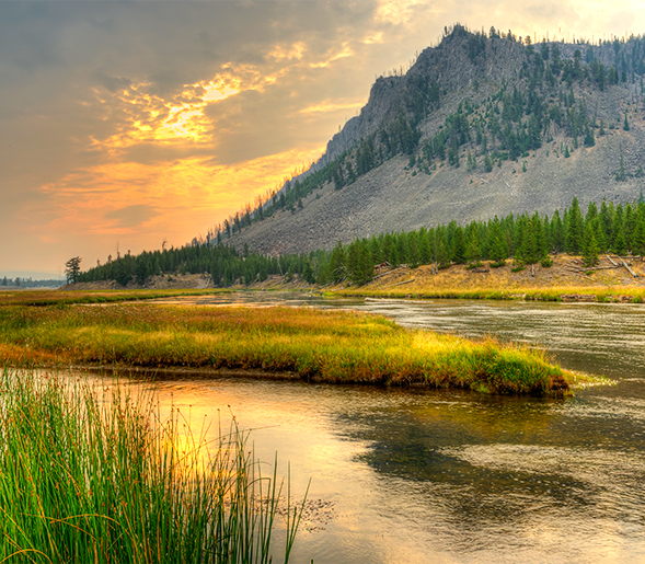
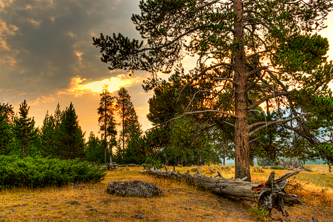
The forest was very quiet with the heavy smoke in the air.
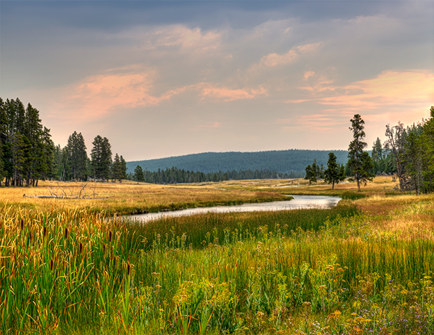
 Later in the morning, I walked along the scenic banks of the Nez Perce Creek with smoke still in the air.